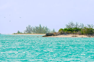
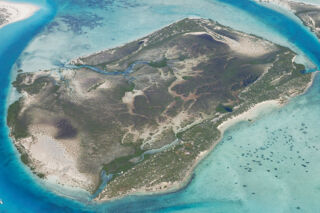
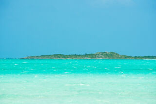
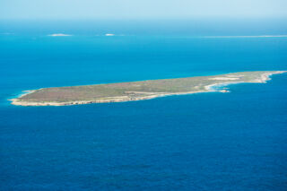
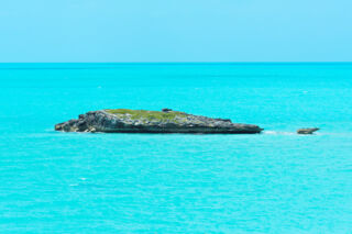
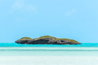
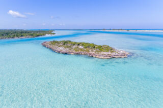
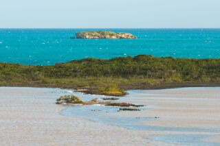
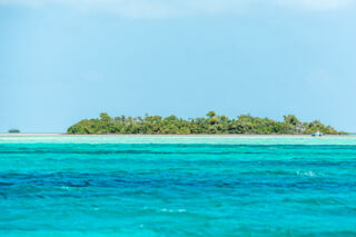
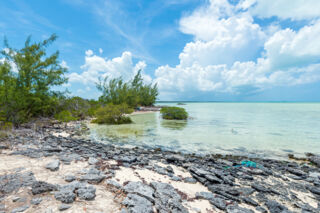
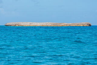
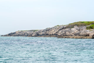
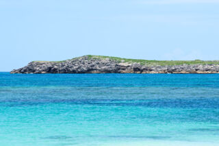
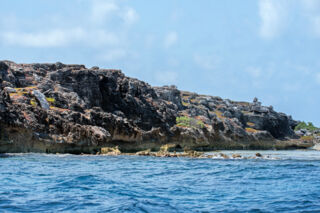
The uninhabited Water Cay.
The Turks and Caicos
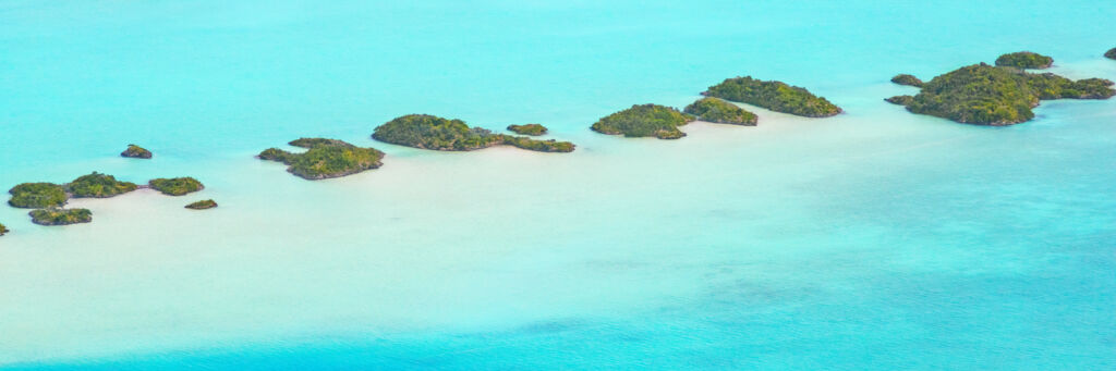
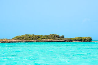
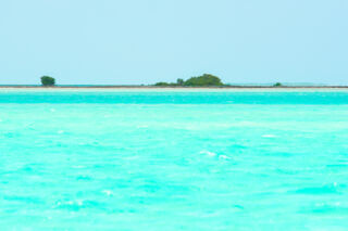
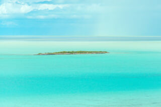
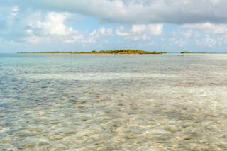
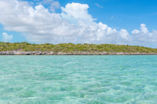
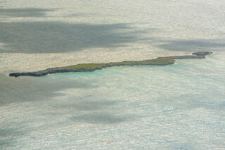
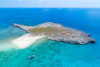
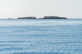
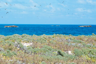
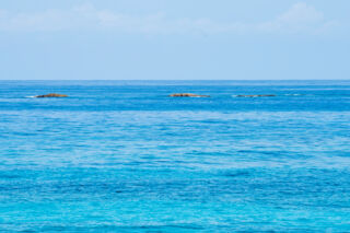
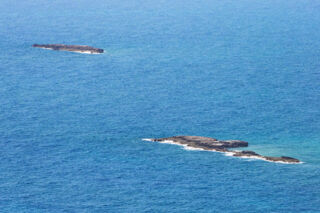
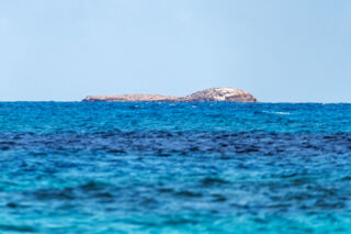
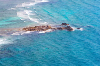
is home to a wonderful collection of islands, and this page gives an overview of our many very small cays, rocks, and islands. Every island shown here is uninhabited and most are Crown Property (controlled by the government), yet a few are privately owned. In addition to the 17 better-known and larger islands, there are about 84 named small islands, cays, and rocks in the Turks and Caicos. You won’t find any resorts or hotels on these tiny pieces of paradise!
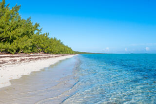
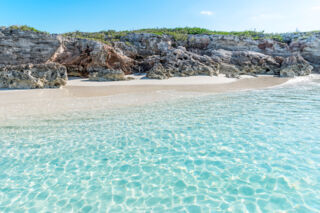
All beaches in the Turks and Caicos are public up to the high tide mark, and access to these islands and cays is generally not restricted.
Due to treacherous reefs and extensive shallows and shoals, it can be quite difficult to get to many of the remote and uninhabited cays in the country.
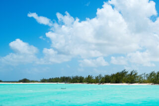
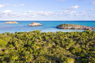
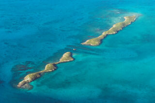
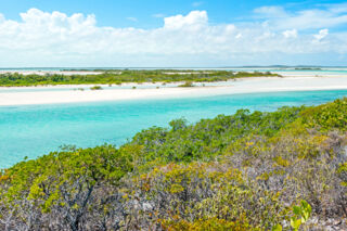
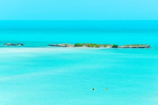
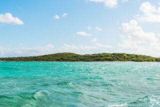
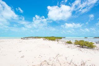
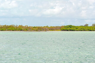
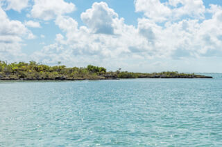
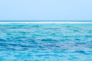
The highly-scenic islands between Providenciales and North Caicos and very popular places to visit on boat cruises and tours . Popular cays in this region include Little Water Cay , Water Cay , Pine Cay , Fort George Cay , and Parrot Cay .
The Turks Islands and the Caicos Islands
As the country’s name may suggest, our archipelago is made of two island groups, which are divided by the 5000-foot-deep (1500 m) Columbus Passage .
The Turks Islands and the Caicos Islands are situated on extensive and submerged plateaus, and the ocean depth on the top of these shelves is typically quite shallow. In fact, if the ocean level were about thirty feet lower than the current level, the Caicos Islands would form a single island about the size of Long Island in New York!
The Caicos Islands group includes the vast majority of the islands in the country. The Turks Islands only consists of Grand Turk, Salt Cay, and about a half dozen islands of any significant size.
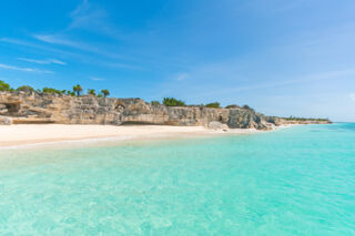
Our Marine Limestone Geology
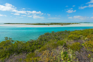
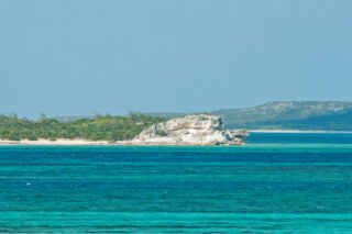
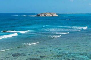
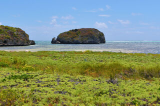
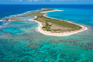
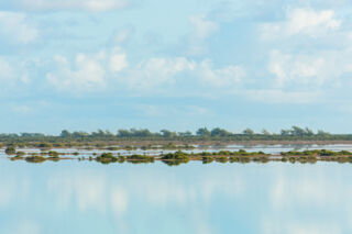
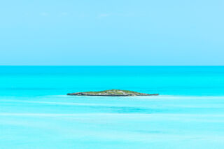
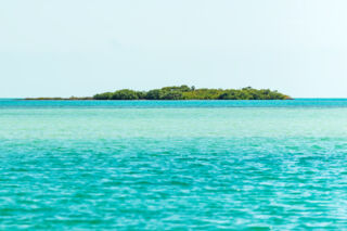
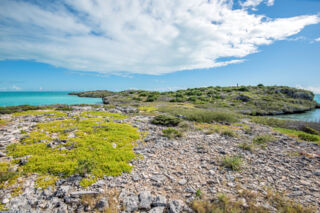
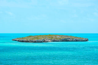
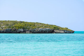
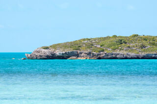
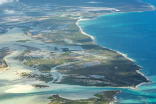
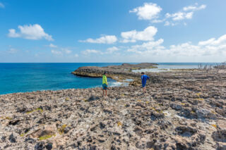
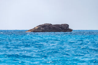
Beautiful cays and islands in the Turks and Caicos.
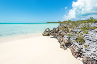
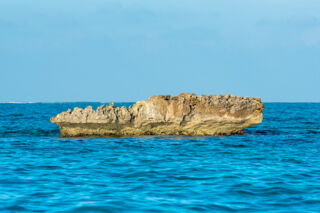
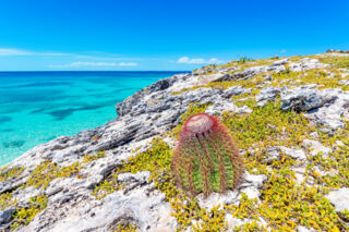
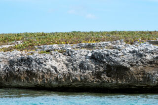
Almost the entirety of rock in the Turks and Caicos is limestone, which is the lithified remains of broken-down corals and mollusks.
The calcareous materials that became our country’s foundation usually reached a sand state before it accreted, compressed, and lithified.
Depending on the location, the period of time, ocean level, and other factors, the patterns that the sands collected in, or stratification , show patterns of having been shallow ocean bed, low elevation plains, or sand dunes.
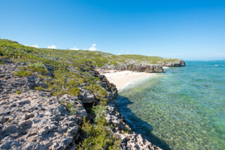
The limestone on our many islands presents in widely varying styles and hardness. In some places, such as at Mudjin Harbour, on the Crossing Place Trail and at Chalk Sound , the rock is quite hard and has developed a gray patina. On other coastlines, such as on the east coasts of West Caicos and South Caicos , the rock is little more than compressed sand dune.
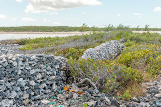
As a limestone environment, the Karst Process of dissolution has left its mark on our archipelago. Small caves, sinkholes, and underwater cave systems can be seen on nearly every island with solid rock. Two such features stand out on a global scale: Conch Bar Caves , the largest dry cave system in the Antilles, and the Middle Caicos Ocean Hole , the widest blue hole in the world.
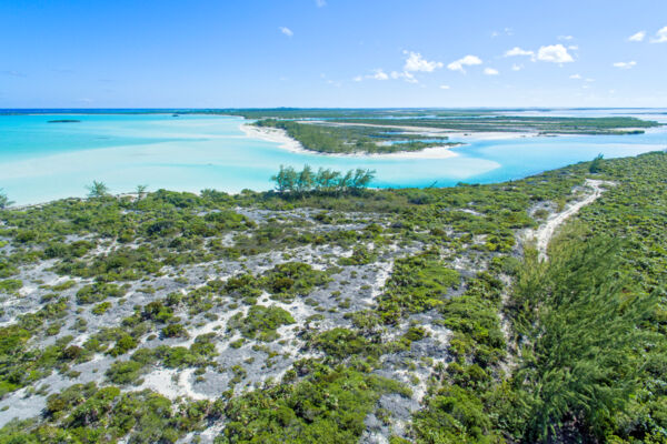
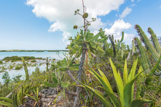
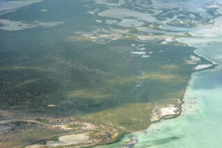
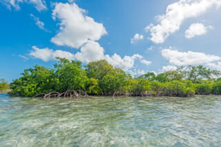
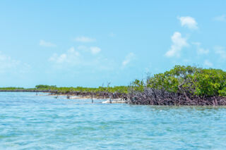
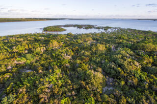
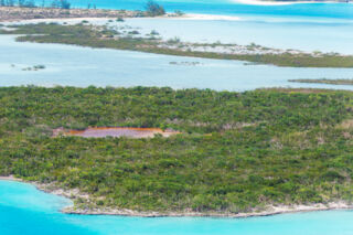
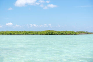
Many of the smaller islands in the Turks and Caicos are small and sandy, with very little hard limestone. In the Caicos Islands, such cays often support vibrant red mangrove populations on the coasts facing the shallow Caicos Banks .
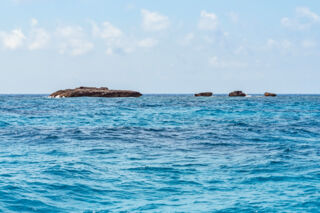
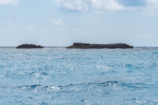
Uninhabited Cays and Islands
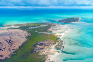
Half Moon Bay
Half Moon Bay is a pristine three-quarter mile (1,200 m) beach between Little Water Cay and Water Cay. Essentially a sandbar that grew over time, the beach is about 122 feet (37 m) wide and today has light vegetation and casuarina trees.
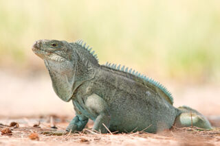
Little Water Cay
Found close off the northeast point of Providenciales, this little island sanctuary is the best place in the world to see the Turks and Caicos rock iguana.
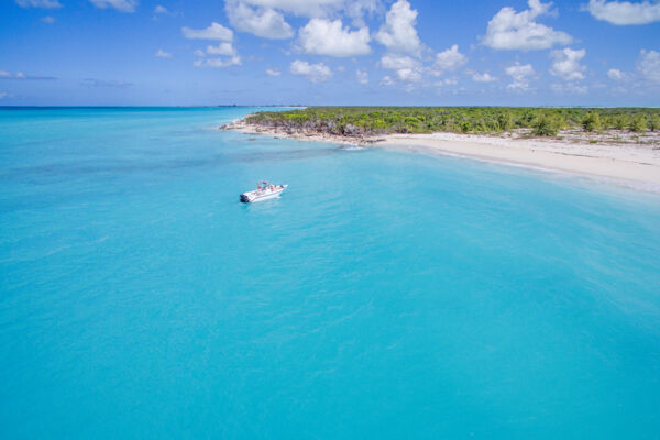
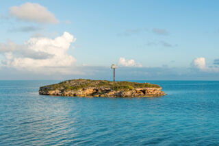
Water Cay
One of the largest still uninhabited cays in the Turks and Caicos, Water Cay is a popular destination for boat cruises from Providenciales. The entire north coast of this island consists of spectacular beach and low white decaying limestone cliffs.
Fort George Cay
Found between Dellis Cay and Pine Cay, this little low-lying island was once the location of a British outpost and cannon battery. Uninhabited, Fort George Cay is a protected historical site.
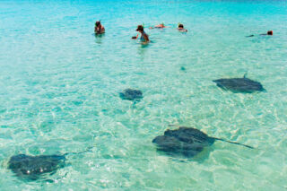
Gibbs Cay
Gibbs Cay is the best outdoor and nature attraction near Grand Turk. The shallow waters surrounding this tiny uninhabited island are home to a multitude of friendly stingrays. Upon the arrival of boats to the cay, stingrays approach from all directions and freely interact with visitors: a truly one-of-a-kind experience.
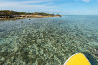
Mangrove Cay
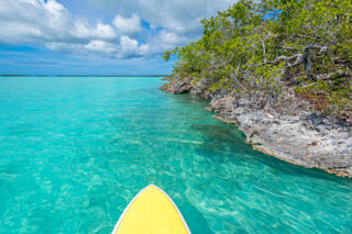
The most popular destination for eco-kayaking or stand-up paddleboarding on Providenciales, Mangrove Cay is an uninhabited 286-acre island in the Princess Alexandra Nature Reserve. The majority of this cay is mangrove wetlands, although some solid ground can be found on the north and east sides.
Donna Cay
Found between Mangrove Cay and Water Cay, Donna Cay is a small 94-acre low-elevation island. Part of the Princess Alexandra Nature Reserve, Donna Cay is a great place to visit by kayak or stand-up paddleboard.
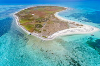
Little Ambergris Cay
Little Ambergris Cay is a large uninhabited wetland island in the southeastern Caicos Banks. The island is a protected nature reserve that’s home to a wide array of bird and marine wildlife.
Plandon Cay
Found close off the north end of South Caicos, the uninhabited Plandon Cay offers 55 acres of limestone bluffs, hills beaches, and mangroves. Plandon Cay Cut, the channel between South Caicos and Plandon Cay, is one of the most scenic areas in the Turks and Caicos due to the spectacular blues, turquoises and greens displayed in the varying depths of ocean water.
Long Cay
A highly scenic backdrop to the settlement of Cockburn Harbour on South Caicos, the uninhabited Long Cay consists of a thin 3.2-mile strip of limestone cliffs and bluffs. Long Cay is part of the Admiral Cockburn Land and Sea National Park.
Joe Grant Cay
This small and beautiful uninhabited island is found between Middle Caicos and East Caicos. With a total land mass of 233 acres, Joe Grant Cay offers beaches, limestone ocean cliffs, Casuarina tree lined beaches and mangrove wetlands. A forty-foot hill can be found on the north end of the island, and the views from this area are spectacular. A small ruin can also be found at this point.
Big Cay
Consisting entirely of mangrove wetlands, Big Cay is uninhabited and located close off the northern peninsula of South Caicos. The nearby abandoned South Caicos LORAN offers excellent vistas over Big Cay, Bell Sound, and Plandon Cay Cut.
Dragon Cay
This little rocky isle is found close off the beach at the famous Mudjin Harbour on Middle Caicos. At low tide, a small sandbar connects Dragon Cay to the beach.
Isaac Cay
Isaac Cay is one of the larger islands in Chalk Sound. Found on the east side of the lagoon, this cay is directly adjacent to Long Cay. Like all of the cays in Chalk Sound, the coastline of Isaac Cay is razor-sharp limestone ironshore.
Dickish Cay
Found close off Cedar Point on Middle Caicos and adjacent to Joe Grant Cay, Dickish Cay is a small scenic and uninhabited island. Although much of the cay is mangrove wetlands, a beautiful casuarina tree lined beach is located on the north coast.
Middle Creek Cay
One of the many small uninhabited cays found between South Caicos and East Caicos, Middle Creek Cay offers some small beaches and mangrove wetlands. Generally of low elevation, soft limestone bluffs and cliffs on the east face of the island reach about 25 feet in height.
Round Cay
Found off the east side of Grand Turk and close to Gibbs Cay, Round Cay is a very small uninhabited island. Much of the coastline of this cay consists of rocky bluffs, but a patch of beach can be found on the southwest side.
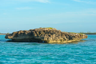
Tony Rock
Tony Rock is a tiny limestone rock found off the cliffs at Haulover Point Beach on Middle Caicos. A very scenic area, the area teems with wildlife. It’s often possible to see sharks, large fish, and schools of sprats in the water below. Light salt-tolerant plant life covers the top of Tony Rock, including parasitic dodder and cactus.
Three Marys Cays
Found on the north coast between Sandy Point and Whitby, Three Marys Cays is a group of three tiny rocky islands right near the beach. The scenery is beautiful here, and there is decent snorkeling not far out. This area can be difficult to find, so check the map before visiting.
French Cay
Located on the southern Caicos Banks about 18 miles south of Providenciales and 18 miles southeast of West Caicos, the remote and isolated French Cay is a protected bird sanctuary. Several of the top dive sites in the country are located close to this cay.
Hope Cay
The largest of the Chalk Sound Lagoon cays, Hope Cay was once cultivated for sisal. Total landmass is about 22 acres. This cay is part of the Chalk Sound National Park.
Middleton Cay
The 12-acre uninhabited Middleton Cay is found about 3 miles west southwest of South Caicos. The terrain here is a mixture of low coastal brush and mangrove wetlands. Middleton Cay is part of the Admiral Cockburn Land and Sea National Park.
Six Hills Cays
The scenic Six Hills Cays are two long and thin islands separated by a channel. Found about six miles southwest of South Caicos, the terrain of these islands consists of limestone bluffs covered with low coastal vegetation. The Six Hills Cays are part of the Admiral Cockburn Land and Sea National Park.
Hog Cay
Hog Cay is one of the larger uninhabited cays in the Turks and Caicos, and is found southeast of East Caicos, and north of South Caicos. Mangrove creeks surround much of the island's coastline, and the interior consists of hills, tidal plains, wetlands, and the typical dry brush land common to the Turks and Caicos.
Big Sand Cay
Found 6.9 miles (11.1 km) south of Salt Cay, the uninhabited and scenic Big Sand Cay offers beautiful beaches, hard sand dunes, limestone cliffs and waving sea oat bluffs. An abandoned light tower and some old wells can be found on some of the higher ground on Big Sand Cay. Although about 1.5 miles (2.4 km) long, the cay is a thin strip and there’s really not a huge amount of solid ground.
Silly Cay
Named after early 1900s Irish entrepreneur George Silly, this 40-acre uninhabited island is found in the inlet to Chalk Sound lagoon. Several small scenic beaches are found interspersed between the low ironshore cliffs of the south coast. Mangrove wetlands make up the majority of this cay.
Cotton Cay
Located 1.5 miles (2.4 km) northeast of Salt Cay, Cotton Cay is a privately owned and uninhabited island. Although much of the coastline is limestone ironshore and cliffs, some small patches of beach can be found. As the island’s name suggests, Sea Island Cotton was grown here and some ruins and field walls still remain from this previous epoch in time.
Major Hill Cay
Part of the East Bay Islands National Park and in the general Bottle Creek area, this small low-lying uninhabited island is found close off of North Caicos.
Bay Cay
Located off the east side of North Caicos, Bay Cay offers deserted beaches and mangrove wetlands. Uninhabited and rarely visited, the main activities in the area are day trips by boat or kayak from North Caicos. Bay Cay is part of the East Bay Islands Natural Park.
East Bay Cay
Due to the eastern trade winds, the beach on East Bay Cay is excellent for flotsam beachcombing. Uninhabited and rarely visited, the main activities in the area are day trips by boat or kayak from North Caicos. East Bay Cay is part of the East Bay Islands Natural Park.
Cooper Jack Rock
This small rocky cay is located off the south side of Providenciales and near to Cooper Jack Bay. At only about 100 feet long, there’s not much going on here.
Bird Rock
Found close off the eastern end of Providenciales, Bird Rock is a very small cay with a light tower. The coastline of this 150-foot-wide (46 m) isle is mainly low rocky cliff.
Sand Bore Cay
This swampy mangrove wetland island is found off the north end of South Caicos at Plandon Cay Cut. Although consisting of more than 24 acres (10 ha), there’s very little actual solid ground. Silty beach can be found off the entire north and east sides of the cay.
Pelican Cay
Pelican Cay is the largest of the three cays located off the Bambarra region of Middle Caicos. This cay is located approximately half a mile (.7 km) off the beach. To the east is Northeast Point which wraps around to Haulover Point.
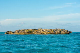
Inner Cay
The smallest of the three cays found off the Bambarra region on Middle Caicos, Inner Cay is a tiny 60-foot diameter (18 m) rock. The only vegetation found here is salt-resistant coastal vines.
Outer Cay
Found off the north coast of Middle Caicos, Outer Cay is one of three cays located off the Bambarra Beach region. At only a little more than 100 feet (30 m) across, Outer Cay is little more than a rock.
Highas Cay
This beautiful 112-acre (45 ha) island is located between North and Middle Caicos and not far off the northwestern point and Juniper Hole area on Middle Caicos. The northeastern face of Highas Cay offers six scenic beaches interspersed between high limestone cliffs and great views can also be had from the 50-foot hill in this area.
Man O' War Bush
Located not far from the huge Ocean Hole off the south coast of Middle Caicos, Man O’ War Bush is a protected clump of mangrove wetland in the shallow Caicos Banks. Man O’ War Bush is part of the Vine Point and Ocean Hole Nature Reserve.
Bird Egg Cays
Two of the several very small cays found close off the Turtle Tail area of Providenciales, the Bird Egg Cays are little more than rocks. More or less one island, both of these cays combined cover about half an acre (0.2 ha). Low salt-resistant coastal vegetation blanket the Bird Egg Cays.
Dick Penn Cays
Two of the several very small cays found close off the Turtle Tail area of Providenciales, the adjacent Dick Penn Cays are tiny limestone ironshore islands. The larger of the two covers about half an acre (0.2 ha) and has the typical salt-resistant low vegetation common to local coastal areas. The lesser Dick Penn Cay is basically a rock.
Bristol Cay
Located off of Turtle Tail on Providenciales, Bristol Cay is one of several very small cays in the area. Covering about 0.4 acres (0.17 ha), the island is mainly limestone ironshore with low coastal vegetation.
Conch Cay
This swampy island is found between North and Middle Caicos at the southern entrance to Bottle Creek Lagoon. Almost entirely a mangrove and wetland island, Conch Cay does offer a scenic casuarina-lined beach. Conch Cay is separated from adjacent Well Cay by tidal wetlands.
Lizard Cay
Part of the Princess Alexandra National Park, Lizard Cay can be found close to Donna Cay off of the northeastern end of Providenciales. With a total land mass of about an acre (.4 ha), this cay has a limestone ironshore coastline and an interior of light coastal vegetation.
Bird Cay
Another small cay on the eastern side of the Princess Alexandra National Park, Bird Cay is a 1-acre (0.4 ha) island with limestone ironshore coastline. Although the majority of Bird Cay is blanketed with the salt-resistant coastal vegetation common to the country, the west side of the island does have some mangrove trees.
Sinking Cays
The smallest of the cays found on the eastern side of the Princess Alexandra National Park, the Sinking Cays are three tiny limestone ironshore rocks. The largest of the Sinking Cays covers about one third of an acre (.1 ha) and has a little clump of weather-beaten coastal vegetation.
Middle Cay
Middle Cay is a small uninhabited island found near the South Dock and Five Cays area of Providenciales, and is one of the cays that accounts for the 'Five Cays' name of the old fishing community. Middle Cay is about three acres (1.3 ha), with a coastline of low limestone cliff. The island is home to a relatively large number of Turks and Caicos Islands rock iguanas.
Turtle Rock
Found a mile (1.6 km) off the coast of Providenciales in the West Harbour Bluff area, Turtle Rock is a 200 foot (65 m) wide cay. More or less a large limestone rock, a small amount of low coastal vegetation can be found growing above the reaches of the ocean.
William Dean Cay
William Dean Cay is an uninhabited 1.6 acre (0.7 ha) cay found off the South Dock area of Providenciales. The coastline of the cay consists of limestone cliffs, and low coastal plants cover much of the island.
Pusey Cay
Also known as Pussey Cay, this 1.8 acre (.75 ha) uninhabited island is found close off the South Dock area of Providenciales. As is the case with many cays in the region, Pusey Cay has limestone sea cliff coastline and light vegetation. This cay is one of the five islands that led to the name of the Five Cays community.
Sim Cay
One of several small cays in the South Dock and Five Cays vicinity of Providenciales, Sim Cay is about two acres (.9 ha) in size. The coastline of this island mainly consists of low limestone sea cliffs and is covered in low coastal plants.
Toadstool Cay
Found off the remote Long Bay Beach on Middle Caicos, Toadstool Cay is a 0.1 acre rock. The rock is razor sharp with no vegetation, and is surrounded by clear shallow water interspersed with reefs. Due to being in the Long Bay region off Middle Caicos, and inside the barrier reef, the area is typically sheltered from the ground swell of the open ocean. Interesting snorkeling can be found here.
Bay Cay
Not to be confused with the large nature reserve cay near North Caicos that shares the same name, this is the largest of the small cays found off of the Five Cays and South Dock area of Providenciales. Uninhabited, total landmass is about 10 acres. Bay Cay is covered with low-level salt-resistant vegetation.
Long Cay
One of three Long Cays in the Turks and Caicos, this rocky cay in Chalk Sound on Providenciales is the least recognized. A very thin island, Long Cay is only about 600-feet long and is separated from Isaac Cay by a shallow channel that’s only a few feet across. Like nearly all cays in Chalk Sound, Long Cay is mainly ironshore limestone and is covered in low vegetation.
Iguana Cay
Found in the beautiful and shallow bay between East Caicos and Joe Grant Cay, Iguana Cay is an uninhabited 15-acre island. Much of the coastline is low limestone ironshore, yet a small beach is found on both the south and north ends of the cay.
Moxy Bush
Found off the southwest side of South Caicos, Moxy Bush is a small red mangrove island, with a total vegetation canopy 'landmass' of about 2.4 acres. The site hosts large numbers of birds, specifically including brown pelicans. The shallow water and complex mangrove root systems surrounding Moxy Bush serves as a nursery for a menagerie of marine life.
Dove Cay
This two and a half acre island is located off the south end of South Caicos. Uninhabited, the terrain consists mainly of ironshore and light coastal vegetation.
Maggot Rock
This unfortunately named scrap of ground is located close off the Silly Creek area of Providenciales. Terrain consists mainly of limestone ironshore with patches of very light coastal vegetation.
McCartney Cay
This long and narrow cay is located between South Caicos and East Caicos. The east coastline of this island consists of beach and crumbling soft limestone bluffs, and the west side is largely mangrove wetlands. Some of the finest kayaking in the Turks and Caicos can be found off the northern end of McCartney Cay. Landmass is roughly 600 acres.
Black Rock
Found off the remote south side of Middle Caicos, Black Rock is a limestone shoal and mangrove bush located in the Caicos Banks. This “island” is typically used as a reference point when navigating on the Caicos Banks between Providenciales and South Caicos.
Papa Cay
This tiny cay is found very close to the beach in the Five Cays region of Providenciales, and is connected to the mainland during low tides. Total landmass is about one third of an acre, and very soft silt surrounds the cay, offering a deceptive perception of beach. Red mangroves make up the majority of the limited vegetation. Shallow water depths prohibit most vessels from approaching.
Burial Cay
Burial Cay is a small mangrove wetland cay, located in Bottle Creek Lagoon and near the Bottle Creek settlement on North Caicos. Total land mass of the cay is about 14 acres (5.6 ha), yet much of the cay is very low elevation and is submerged on abnormally high tides. Vegetation on the cay is primarily red mangroves, yet a limited selection of other salt-tolerant plants can also be found.
Sail Rock Island
This small mangrove wetlands cay is located between East Caicos and South Caicos. Total land mass of Sail Rock Island is about 292 acres, but the only solid ground is a few thin strips of low-elevation sandy dunes.
Well Cay
Located in the southern entrance to Bottle Creek Lagoon between North Caicos and Middle Caicos, Well Cay is a marshy collection of mangroves. The adjacent and closely connected Conch Cay is separated by shallow tidal wetlands.
Horse Cay
This little uninhabited cay is found in the sheltered Bell Sound lagoon at South Caicos. With a total land mass of about 3 acres (1.2 ha), Horse Cay offers low rocky bluffs and some thin silty beaches.
Fish Cay
The Fish Cays are two tiny islands found north of the Ambergris Cays. Consisting mainly of limestone cliffs, bluffs and low coastal vegetation, both islands are uninhabited. The larger of the Fish Cays has three scenic beaches interspersed between the low sea cliffs on the west side of the island.
Thatch Cay
Thatch Cay is a three acre (1.2 hectare) uninhabited limestone shoal island off of the remote central north coast of East Caicos. The cay serves as a brown pelican rookery, and is surrounded by very treacherous shallows and reefs. A mysterious stone wall divides the island, and may have been a boundary line for cattle ranching on East Caicos in previous centuries.
Stubbs Cay
Located close off Fort George Cay and partially connected by mangrove wetlands, Stubbs Cay is an uninhabited 93-acre island. The terrain of this cay consists of swampy wetlands and low elevation coastal vegetation. Stubbs Cay is included in and falls under the protection of the Fort George Land and Sea National Park.
Big Southern Bush
Big Southern Bush is a mangrove wetland island located off the south coast of East Caicos. Although this cay is a little larger than 135 acres (55 ha), there’s no essentially solid ground, and only a narrow low dune beach on its eastern coast.
Middle of Channel Cay
Found between the extensive wetland flats on the south sides of Middle Caicos and East Caicos, the swampy Middle of Channel Cay is little more than a clump of mangroves. Although there’s no actual solid ground, the vegetation of the cay covers about 66 acres (27 ha).
Penniston Cay
One of the several small cays found between Grand Turk and Salt Cay, Penniston Cay is a thin rocky strip of land. Although about 0.4 miles (0.64 km) long, total land mass is less than 8 acres (3 ha). There are no beaches here. Penniston Cay is part of the Grand Turk Cay Land and Sea National Park.
Billy Beefer Rock
One of the more uniquely christened islands in the Turks and Caicos, this limestone ironshore rock is found about five miles south of Big Ambergris Cay. Uninhabited and remote, Billy Beefer Rock is part of the Seal Cays Wildlife Sanctuary. Total landmass is about 1.4 acres.
Bush Cay
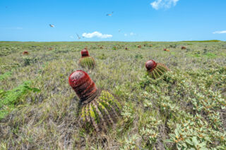
The largest island in the Seal Cays Wildlife Sanctuary, this island is found about five and a half miles south of Ambergris Cay. Consisting of less than 20 acres of landmass and exposed to the relentless southeast trade winds and swells, Bush Cay has surprisingly interesting terrain, with rugged ironshore, a shallow pond, and sandy flats with cacti.
The Halfway Cays
The Halfway Cays are several mangrove and wetland islands located close off the south side of Pine Cay. The largest of these cays covers about 126 acres. None are inhabited and there is very limited actual dry ground on any of the cays.
Big Cameron Cay
This mangrove wetland cay is found off the south of East Caicos. With a total area of almost 14 acres, there’s not much actual solid ground here. Big Cameron Cay is remote, uninhabited and largely inaccessible due to the surrounding shallows.
First Cay
This little scrap of vegetation is found at the southeastern end of Bottle Creek Lagoon on North Caicos. Mainly mangrove wetlands, a thin strip of limestone ironshore lines one side of this 4.5 acre (1.8 ha) cay.
White Cay
Found 10 miles southwest of the Ambergris Cays, White Cay is an uninhabited and remote island with bluffs and light coastal vegetation. Total landmass is a little over 12 acres. It is one in a string of tiny cays and rocks that make up the southernmost land in the Caicos Islands group. Along with 9 other cays and rocks, White Cay is part of the Seal Cays Wildlife Sanctuary.
Indian Cay
Indian Cay is an 11-acre uninhabited island located about 12 miles southwest of the Ambergris Cays. It is one of the larger islands in a string of tiny cays and rocks that make up the southernmost land in the Caicos Islands group. Along with 9 other cays and rocks, Indian Cay is part of the Seal Cays Wildlife Sanctuary.
Conch Cay
Not to be confused with its larger namesake located between North Caicos and Middle Caicos, this tiny and uninhabited cay is found off of South Caicos between Middleton Cay and Long Cay. Total landmass is well under half an acre. Conch Cay is a bit of limestone shelf, yet a small beach can be found on its north-western side, and discarded conch shells top the shoal.
Long Cay
This long and narrow uninhabited 45-acre cay is located south of Grand Turk. The island is an important nesting site for seabirds, and has an environment of low coastal vegetation and limestone coastlines.
Little Sand Cay
This patch of ground is simply a small round sandbar. Found two miles south of Grand Turk, Little Sand Cay changes size and location over time and may be almost entirely submerged during a spring tide. Reefs surround the sandbar, which is why it typically isn't visited.
Tucker Rock
Tucker Rock is a remote limestone cay, located close off the northern side of scenic Big Sand Cay. It's the largest in the string of tiny rocks off Big Sand Cay, and offers excellent and unique snorkeling during calm weather conditions. Tucker Rock is part of the protected Big Sand Cay Sanctuary, wherein fishing is prohibited.
East Cay
East Cay, also known as Martin Alonzo Pinzon Cay, is a 107-acre (43 ha) island found between Grand Turk and Salt Cay. Home to large populations of migrant birds and Turk's head cacti, a beautiful beach can be found on the west side of East Cay. East Cay is part of the Grand Turk Cay Land and Sea National Park.
Pear Cay
This little uninhabited 27 acre cay (11 ha) is found between Grand Turk and Salt Cay. Consisting mainly of soft limestone cliffs and bluffs, there’s no decent beach here. Pear Cay is part of the Grand Turk Cays Land and Sea National Park.
The Three Brothers Rocks
The Three Brothers Rocks are three tiny ironshore rocks that are found 10 miles (16 km) southwest of the Ambergris Cays and are in the string of small cays and rocks that are the southernmost land in the Caicos Islands Group. Along with nine other cays and rocks, these rocks are part of the Seal Cays Wildlife Sanctuary.
The Three Mary's Rocks
Not to be confused with their namesakes off the north coast of North Caicos, these remote and desolate rocks are the southernmost land in the Turks and Caicos Islands. Found 0.75 miles from the uninhabited and equally remote Big Sand Cay, there is little to be seen here other than limestone ironshore and light coastal vegetation.
Shot Cay
This uninhabited, tiny and remote rock is one in a string of small cays and rocks that make up the southernmost land in the Caicos Islands Group. Along with 9 other cays and rocks, Shot Cay is part of the Seal Cays Wildlife Sanctuary.
Pear Cay
Not to be confused with the larger Pear Cay found near Grand Turk, this tiny Pear Cay is little more than a limestone ironshore rock. Found about eight miles south of the Ambergris Cays, it is one of the southernmost patches of ground in the Caicos Islands Group and is part of the Seal Cays Wildlife Sanctuary.
The Seal Pup Cays
The Seal Pup Cays are four limestone ironshore rocks found about 8 miles south of the Ambergris Cays. They are part of the Seal Cays Wildlife Sanctuary. The largest of these rocks is about 140 feet across.
The Coral Cays
The Coral Cays are two small limestone rocks located about eight miles south of the Ambergris Cays. They are part of the Seal Cays Wildlife Sanctuary, and may be considered as some of the most remote emergent land in the Turks and Caicos. Fishing in the sanctuary is prohibited.
Breaker Rock
Located between the Ambergris Cays and the Seal Cays Wildlife Sanctuary, Breaker Rock is as its name suggests is simply a jagged shard in the ocean. At only 115 feet across on its longest dimension, this rock is uninhabited.
The Ambergris Rocks
The Ambergris Rocks are eight small rocks, five of which are emergent, found close off the east coast of Big Ambergris Cay. Although largely consisting of limestone ironshore, the largest of the rocks has a minimal presence of salt-resistant coastal vegetation.
Middle Rock
Middle Rock is a tiny island found halfway between Big Ambergris Cay and the Seal Cays Wildlife Sanctuary. At only 380 feet across with a total landmass of 1.4 acres, this limestone ironshore rock has only a few patches of salt-resistant coastal vegetation.
Fish Rock
Fish Rock is a small and uninhabited limestone rock and shoal, located off Salterra Beach at East Bay, South Caicos. The rock is located on the outer edge of the barrier reef on the southern side of the island. A very small amount of salt-resistant vegetation grows on an otherwise barren limestone feature.