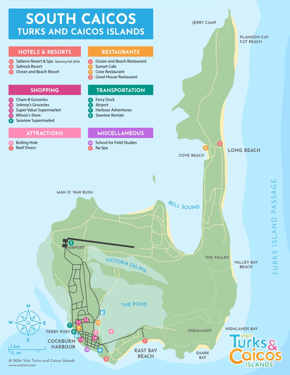
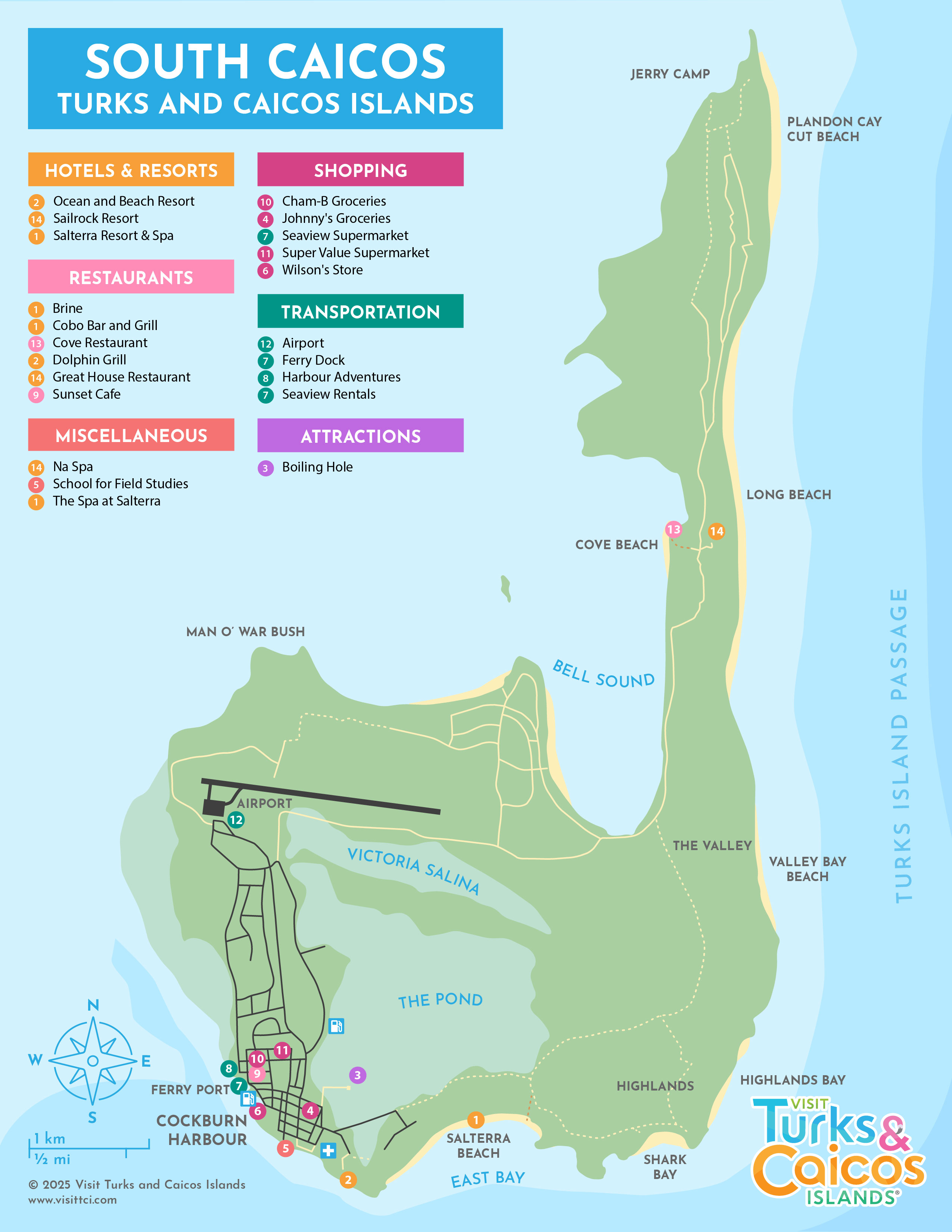
Map of South Caicos
South Caicos isn't as large as Providenciales, North Caicos, or Middle Caicos, but we recommend you print a copy of our map to take with you to help you find your way around the island.
The Cockburn Harbour area is, except for Front Street in Grand Turk, the only area in the Turks and Caicos with a city-block-type road structure, and is the main town on South Caicos. Two of the island's three hotels—the new Salterra Resort & Spa and the budget Ocean & Beach Resort—are located in the southwestern portion of the island.
The beaches are generally located on the southern and eastern coasts of the island. The western coasts are mostly rocky ironshore.
The large bay of Bell Sound, along with the water heading north towards East Caicos, is the primary location for bonefishing.
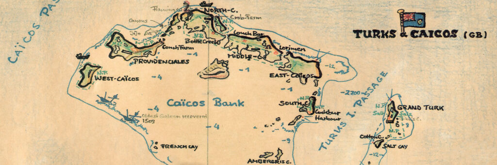
For information on the island's general location, see South Caicos Location.
Driving
Some of the roads, such as the northern road to Plandon Cay Cut and Jerry Camp, can be in rough condition. These roads are tan on the map. Drive slowly and with caution to avoid hazards.
For information on renting a car on the island, see South Caicos Car Rentals.
Interactive Map
)