
Heaving Down Rock Providenciales
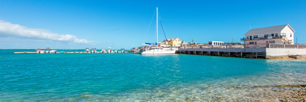
Heaving Down Rock is a coastal region located on the far eastern end of Providenciales. The area is home to Heaving Down Rock Marina (Walkin Marina), the National Trust and North Caicos cargo dock, and the now-defunct Caicos Conch Farm. All passenger ferries to North Caicos and South Caicos depart from the general Heaving Down Rock region. The Bird Rock Point nature and hiking trail is located adjacent to the southeast.
It’s easy to get to the Heaving Down Rock area. Simply follow the paved Long Bay Highway (the continuation from Leeward Highway at the Grace Bay roundabout) to its termination at Leeward Going Through Channel, which is the waterway that divides Providenciales from Little Water Cay and Mangrove Cay. You’ll be able to see Mangrove Cay directly across from where the road ends.
Heaving Down Rock offers some of the best bottom shore fishing on Providenciales, especially considering the accessibility.
Bird Rock Trail
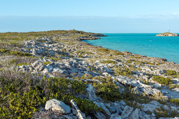
Bird Rock Trail, a 0.8-mile (1.3 km) hiking path that’s managed by the Turks and Caicos National Trust, is located in the Heaving Down Rock area.
This trail begins in the dry forest common to the country, and gradually leads into marine salt marshes. At the conclusion of the trail is Crist Point and the tiny isle of Bird Rock.
The low coastline here is quite interesting in that it exhibits rocks piled by the power of the ocean. The events that moved these rocks must have been incredible, as the ocean conditions of the shallow Caicos Banks fronting the south of Providenciales may be quite choppy at times, yet generally never exhibit large waves. It’s likely that a tremendous storm caused this damage, such as the 1866 Great Nassau Hurricane.