A Land Rover Discovery 4x4 on the North and Middle Caicos causeway The causeway that connects North Caicos and Middle Caicos.
Nothing found. Try changing your search terms.

North Caicos and Middle Caicos Districts and Areas

Stone building ruin with chimney at Haulover Plantation on Middle Caicos
Ruins of Haulover Plantation, Middle Caicos.

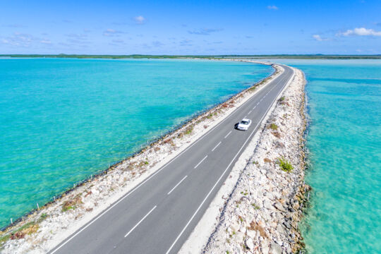
North Caicos and Middle Caicos are connected by a causeway and collectively make up the majority of the land mass in the Turks and Caicos, with a total area of around 100 square miles (259 square km). However, the twin islands are only home to 4.7% of the country’s population (1648 persons according to the 2012 Census).

Before the causeway was built and the ferry operated, the historical Crossing Place Trail was the primary route that joined Middle Caicos and North Caicos.

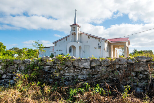
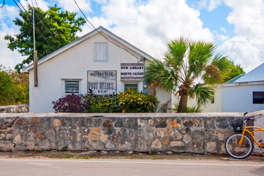
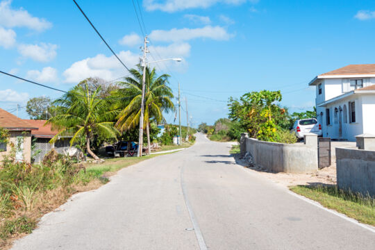
Both islands have several small settlements, with the largest of these being Bottle Creek on North Caicos, and Conch Bar on Middle Caicos.

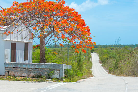
Although North Caicos and Middle Caicos are large, road navigation is quite linear and simple. From Sandy Point Marina on North Caicos (where the ferry lands), the natural progression of the main road leads through all of the main settlements on both islands and ultimately ends at Lorimers, a remote and tiny village on the east of Middle Caicos.

Aerial view of Mudjin Harbour on Middle Caicos
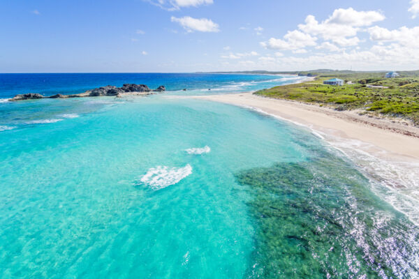
Aerial view of Mudjin Harbour and Dragon Cay on Middle Caicos.

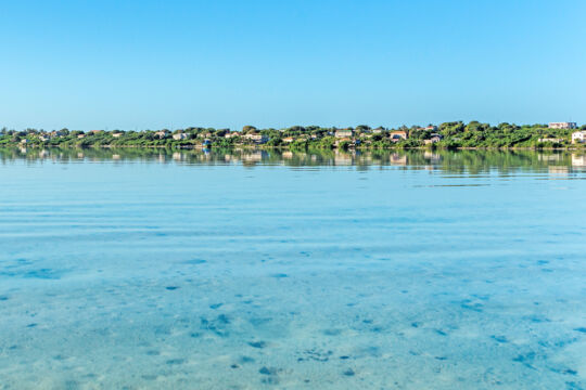
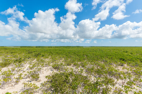
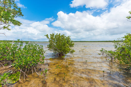
The entire south sides of both islands consist of low-elevation wetlands, and remain undeveloped. Much of this area is a protected Ramsar conservation site.

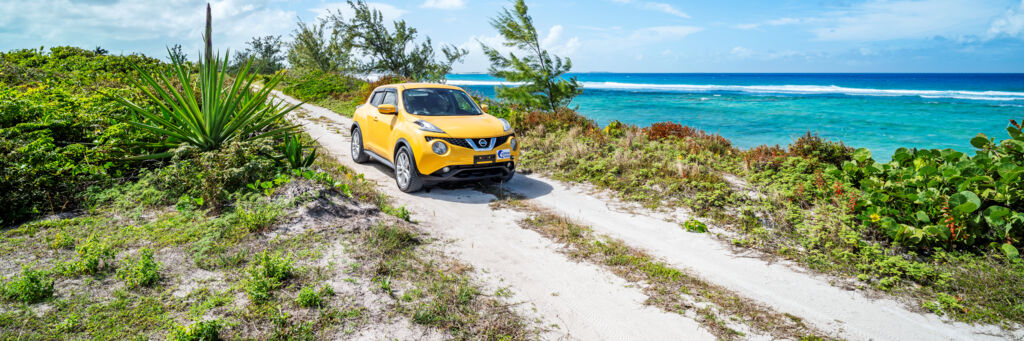
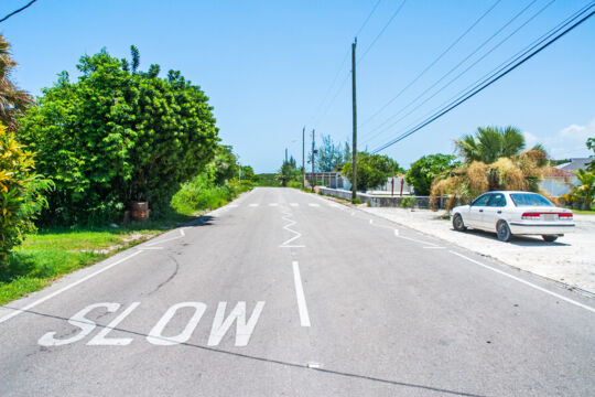
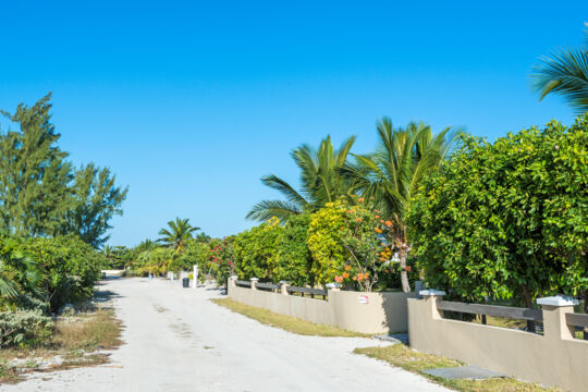
Many of the roads throughout the two islands are surfaced and in good condition. Some roads, such as the route to distant Cedar Point on Middle Caicos, are rough unpaved tracks. Typically, there’s a strong contrast between the two. The paved roads are generally decent, and many unpaved roads have craters, loose rocks, and overbearing vegetation. The rough tracks, however, can be a lot of fun to explore by 4x4.

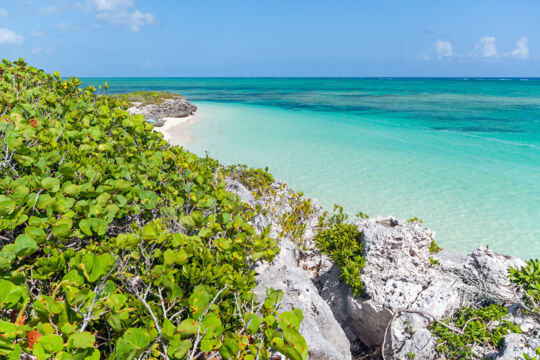
As is the case with many of the islands in the Turks and Caicos, there are many beautiful and secluded beaches to discover!

Areas and Districts of North Caicos and Middle Caicos

Lorimers
This tiny and quiet settlement is found on the remote eastern side of Middle Caicos. Home to a majority elderly population today, this village was named after British military doctor and plantation owner John Lorimer.
Bottle Creek
As the largest settlement on North Caicos, many of the island’s shops, gas stations, and restaurants are found here. The spectacular Bottle Creek Lagoon provides an amazing backdrop.
Major Hill
Major Hill is a village found on the northeastern side of North Caicos, and between Whitby and Bottle Creek. The island’s airport is found here, along with several small shops and businesses.
Whitby
Whitby is a small community located on the northern coast of North Caicos. The village was one of the four original settlements on the island, and is now home to a quiet collection of homes and laid-back vacation accommodations.
Conch Bar
Conch Bar is the largest settlement on Middle Caicos, and is located on the central northern coast of the island. The village is near the popular attraction of Mudjin Harbour, and is home to a restaurant and the few shops found on Middle Caicos.
Pumpkin Bluff
This area is home to several villas and Pumpkin Bluff Beach, one of the best beaches on North Caicos.
The North and Middle Caicos Causeway
Learn about the causeway that connects North Caicos and Middle Caicos. Information on the current condition, past hurricane damage, history and more.
Sandy Point
Sandy Point is a small and quiet settlement located on the north-western end of North Caicos. A small marina is located near the community, as is the beautiful and namesake coast of Sandy Point Beach.
Kew
Kew is a small village on North Caicos, and is found in the interior southwest region of the island. This settlement was one of four original villages on the island, and traditionally has been the center of agriculture in the Turks and Caicos. The North Caicos ferry lands near Kew.
Bambarra
This quiet little collection of houses is home to the annual Valentine’s Day Cup model sailboat race. The beautiful Bambarra Beach fronts this village.

National Parks

East Bay Islands National Park
Consisting of the uninhabited Bay Cay, East Bay Cay and Major Hill Cay, this national park is found between North Caicos and Middle Caicos and includes wetlands, beautiful beaches, and coastal dry brush terrains.
Armstrong Pond
Armstrong Pond is a remote and beautiful saline pond in central Middle Caicos. The region is a haven for bird life, including ducks, herons, egrets, and American kestrels.
Ramsar Nature Reserve
The Turks and Caicos Ramsar Nature Reserve is a 144,846-acre marine wetland preserve that covers much of the south sides of North Caicos, Middle Caicos, and East Caicos. The region is a haven for bird and sea life.