South Wells Salt Cay
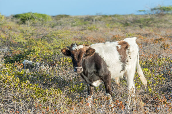
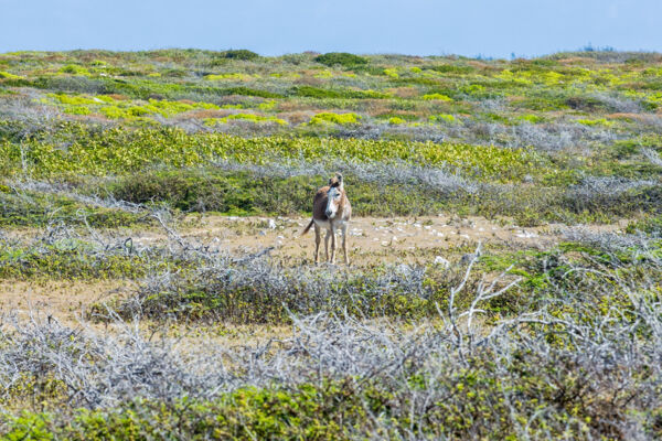
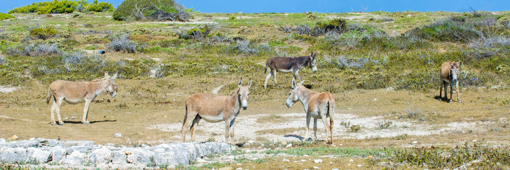
South Wells is found on the uninhabited southern point of Salt Cay. Generally of low elevation, this coastal area got its name from the two shallow livestock wells located in the area. These centuries-old limestone block-lined wells supply limited brackish water to the island’s feral donkeys and cattle. Similar to North Wells on Grand Turk, an open side with a ramp approach allows the donkeys to walk down to the water.
The terrain of South Wells is beautiful. Weather-beaten and salt-resistant brush forms a dense hedge over much of the region, yet donkey trails make it rather easy to hike.
The rugged and interesting coasts of South Point and South Bay surround South Wells and are also great areas to explore. Donkeys can typically be seen in the area grazing.
It’s easy to access the South Wells and South Point region of Salt Cay via golf cart or bike. Simply follow Victoria Street, which is the primary road on the island, south from Balfour Town. On the way to South Wells, the island’s small electric power plant and the dump will be passed, after which the track narrows and worsens. The South Wells area begins after the dump.
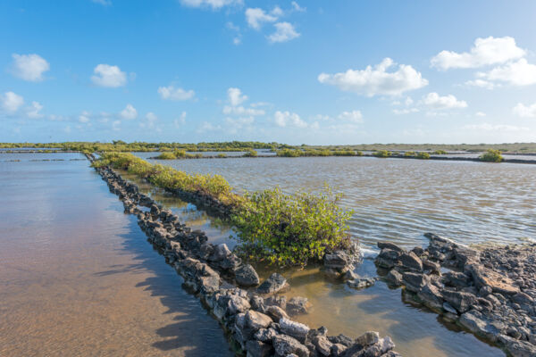
Pilchard Hole Salina
Pilchard Hole Salina, the remains of a small sea salt production pond, can still be seen to the east of South Wells. The low stone salina dividing walls and a few causeways remain in decent condition, although all windmill pumps and gates have long since disintegrated.
Pilchard Hole Salina was provided with ocean water through South Creek. Shifting sands have almost entirely submerged the inlet channel, yet the rock outline can still be seen on the southwest end of South Creek.