
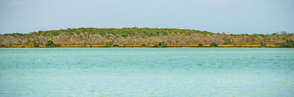
Big Pond Middle Caicos
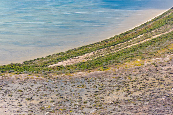
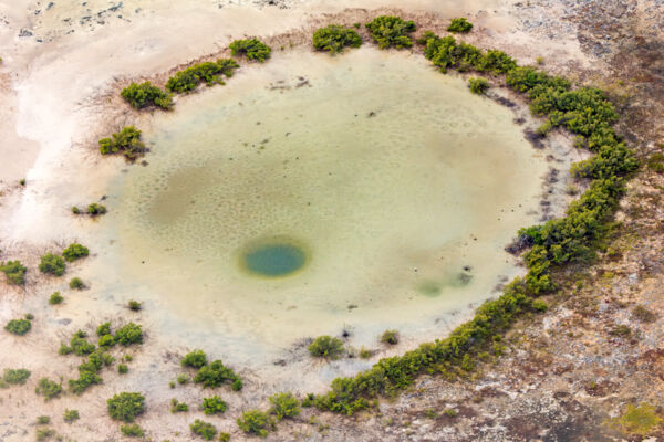
Big Pond is a 1,200-acre (486 hectares) circular inland marine pond located on the southeastern side of Middle Caicos. It’s one of the more remote areas of the Turks and Caicos, and is very difficult to access via conventional boats due to the complex and very shallow intertidal creeks that connect the pond to the ocean. The broader region surrounding the pond is undeveloped and uninhabited, and there are no established land routes from central Middle Caicos to the pond. Very few people ever visit the site.
Big Pond is located inside the Ramsar Nature Reserve. Fishing, crabbing, and the removal of any antiquities are illegal, except in a narrow range of cases when an appropriate research or scientific permit is held.
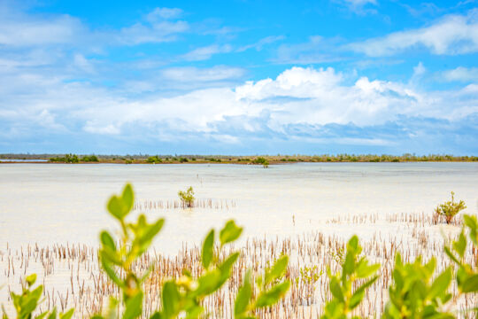
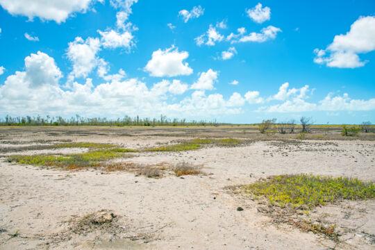
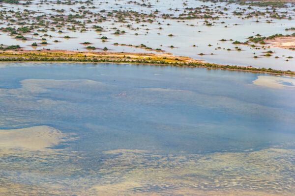
Big Pond is quite shallow, with the majority of it being less than 3 feet (1 meter) deep. Two very shallow and meandering intertidal creeks connect the pond to the ocean. A southern system eventually opens to the Caicos Banks, and an eastern system leads past the small Joseph Cays (not to be confused with nearby Joe Grant Cay) to Windward Going Through, which is the channel that separates Middle Caicos and East Caicos and connects the Caicos Banks to the open ocean to the north. These creeks, especially the eastern creek, are so shallow that even kayaks will have difficulties traveling in all but the highest tide conditions. The southern creek route, which is about 4 miles (6.4 km), is the easiest way to access the pond, yet even a typical peak high tide has less than a foot of depth at the many restrictions along the route. Much of the terrain in the region around Big Pond is floodplain with light halophyte vegetation. In most conditions, these flat expanses are dry, yet heavy rains or higher than normal tides will submerge large swaths.
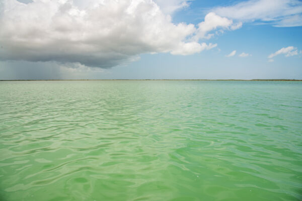
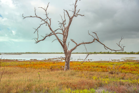
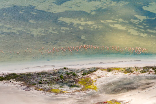
The pond can have an impressive tide lag with the open ocean, and can be 4-6 hours out of phase with the open ocean tide. This is due to the shallow, complex, and lengthy creeks that eventually connect the pond with the open ocean. This significant tide lag, when combined with the extensive shallows that must be crossed in the Caicos Banks in order to access Big Pond, makes it particularly difficult to access via powerboat, as high tide times may not be sufficient to transit the shallow sections of the route.
Reddish Egrets
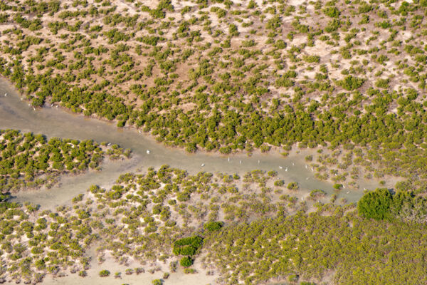
Globally and ecologically, Big Pond’s significance is its importance for the reddish egret (Egretta rufescens). In the Turks and Caicos, these large wading birds are usually found in the upper reaches of the intertidal creeks and flats and in the ecotones where the wetlands transition into the tropical dry forest. At times there can be about 50 adults in one location in the area surrounding Big Pond, with members in both the white and dark plumage morph. Field surveys resulted in an estimated population of 500–1,000 reddish egrets across the entirety of the Turks and Caicos, which is a significant percentage of the world’s population, which is thought to be around 5,000–9,999. Seeing 50 at one location is remarkable, even from a global perspective.
Wildlife
Big Pond, likely due to its high salinity and elevated temperature caused by solar heating, has less marine life than may be expected, which, in terms of animals larger than small bivalve mollusks, is largely confined to a few bonefish and tarpon.
The pond does attract a wide range of birdlife in addition to the reddish egrets due to the varied vegetation in the area and wetlands. On the western side of the pond is a dense band of silver buttonwood trees, which is favored by passerines, American kestrels, and green herons.
Caribbean flamingos, in numbers that vary from a few stragglers to flamboyances of more than a hundred, are also somewhat common, usually on the eastern bank of the pond, which has a lower density of vegetation compared to the western bank.
The Lucayans
The important MC-6 Lucayan site, perhaps the largest pre-Columbian settlement site discovered in the Turks and Caicos, is located 1.7 miles (2.7 km) to the northwest of the pond. Big Pond was likely the primary access route via canoe to the settlement due to the slightly greater depth of passage over the other possible route.
There is evidence of the Lucayan people throughout the southern region of Middle Caicos. Often, this is initially visible as a few shards of ceramic, some burnt rock and shell, and perhaps a basic tool created from imported rock.
One of the more noticeable features in the area that is likely Lucayan is a stone wall or causeway that crosses the primary southern creek leading into Big Pond. It’s not absolutely clear if this was built as a means of crossing the shallow creek on foot, if it was a fish trap, or if it served some other purpose, yet a pedestrian causeway appears most likely as the causeway roughly follows a drier ridge of creek bank that heads to the expanse of the southeast coast and denser mangrove stands, where hunting and gathering would have taken place.